The Royal Road
Royal highway and courier route from Sardis to Susa, about 500 BCE
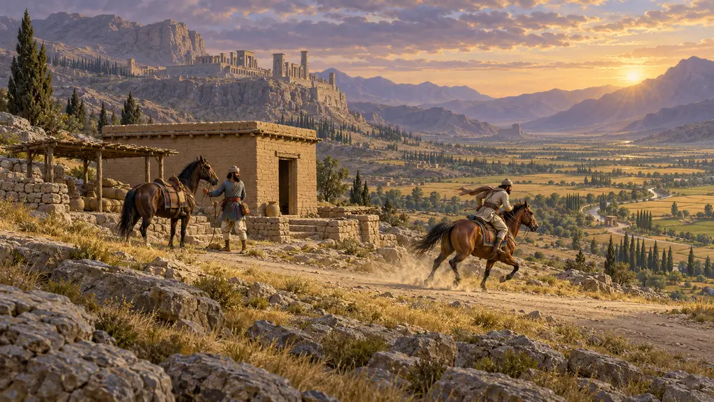
The Royal Road was the King's route from Sardis in Lydia to Susa in Elam, described by Herodotus with 111 stations and about ninety days of walking. It was the best-known line in a wider network of guarded roads, rest stations and ration stores that let officials, troops and royal messages cross the empire on the King's authority.
In the game: The game's chronicle note for the Sardis to Susa journey follows Herodotus: 111 stations, some ninety days on foot, royal couriers riding in relays, and gates and a fort at the Halys crossing.
The road as Herodotus describes it
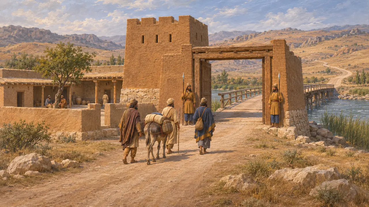
Ancient accountHerodotus says the road ran from Sardis through Lydia, Phrygia, Cappadocia, Cilicia, Armenia, Matiene and Cissia to Susa, with 111 stations where travellers could lodge. He counts 450 parasangs of 30 stadia each, which at 150 stadia a day makes ninety days of walking, and he adds three days from Ephesus to Sardis. Gates and a strong guard-post stood at the crossing of the Halys, with more at the Cilician border and in Armenia.
Herodotus 5.52-54
Couriers in relays
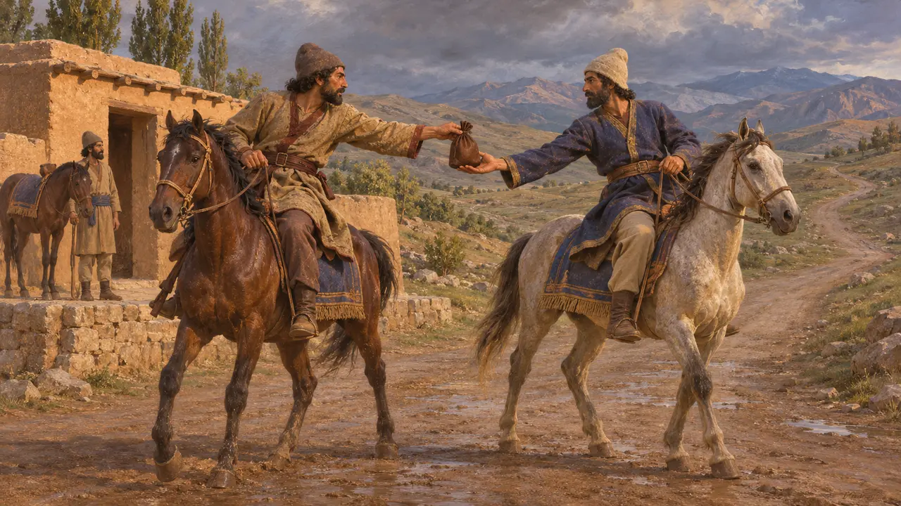
Ancient accountHerodotus says men and horses were posted along the way, one for each day's stage, and each rider handed the message to the next whatever the weather. He says the Persians called this service angareion and that nothing mortal travelled faster. He compares it to the Greek torch-race, in which a flame passed from runner to runner.
Herodotus 8.98
Rations and sealed travel papers
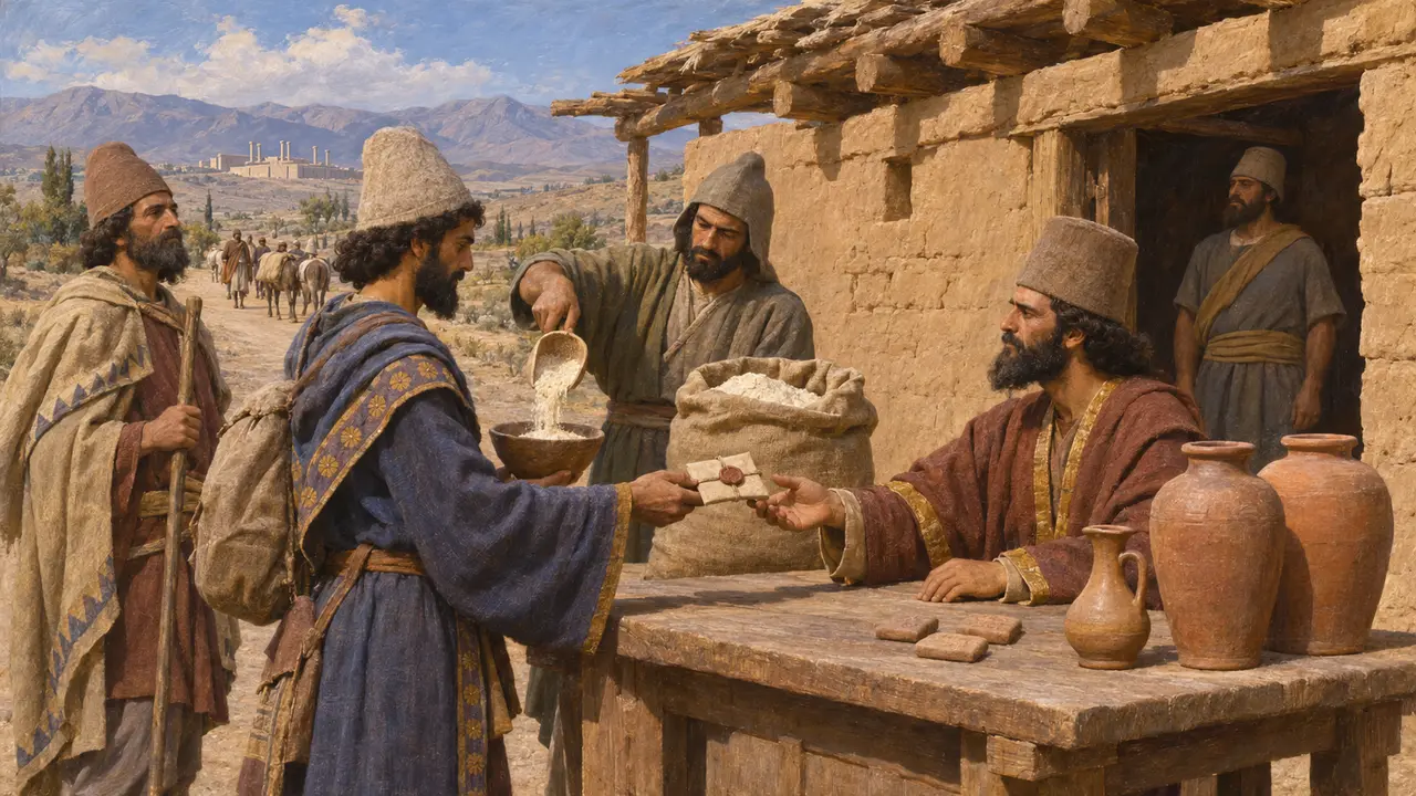
In the recordThe Persepolis Fortification tablets, written mostly in Elamite in about 509-493, record rations of flour, wine and beer issued to travellers at stations. Parties carried a sealed authorisation from the King or a senior official, and their journeys linked Persepolis and Susa with Sardis, Arachosia, India and Egypt. A later Aramaic letter of the satrap Arshama shows the same system of sealed ration orders still at work in the late fifth century.
R. T. Hallock, Persepolis Fortification Tablets, 1969; Arshama letters (TAD A6.9)
Where exactly the road ran
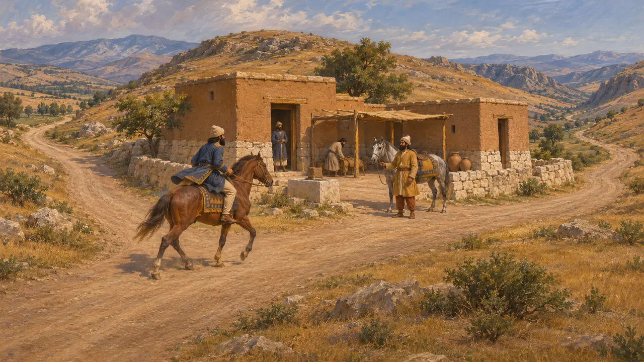
DisputedHerodotus's list of regions is hard to fit onto a map, and historians disagree about the line through Anatolia. Some trace a course across central Anatolia, others a more southern one nearer Cilicia. Its route east of the Euphrates, and whether it passed near Arbela, is also argued. Most now see it as a set of maintained routes with stations rather than a single paved highway.
D. F. Graf, The Persian Royal Road System, 1994; P. Briant, From Cyrus to Alexander, 2002
Cyrus and the horse's day
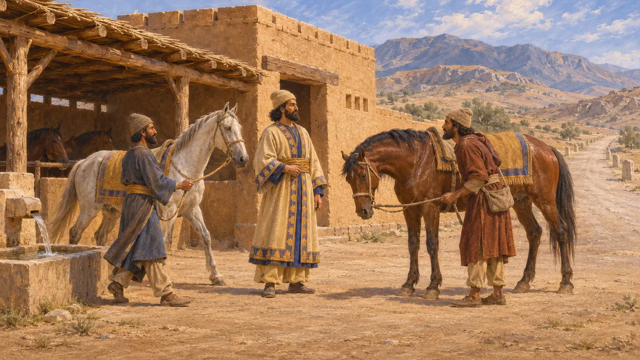
Later legendXenophon says Cyrus founded the relay system after finding how far a horse could ride in a day, and set stations at that distance with horses and grooms. The Cyropaedia is an idealised portrait of Cyrus written more than a century later, so this credit cannot be checked. The surviving records of the system date from the reign of Darius.
Xenophon, Cyropaedia 8.6
Sources
- Herodotus 5.52-54
- Herodotus 8.98
- R. T. Hallock, Persepolis Fortification Tablets, 1969
- D. F. Graf, The Persian Royal Road System, 1994
- P. Briant, From Cyrus to Alexander, 2002
- Xenophon, Cyropaedia 8.6