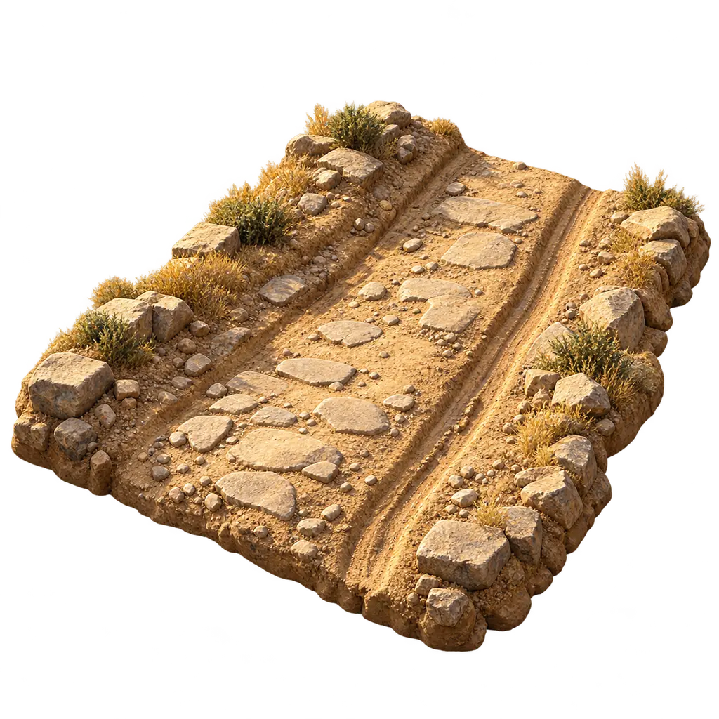
Road
Tracks and the King's road network, Achaemenid empire, 6th-5th centuries BCE
Roads tied the Persian empire together. Most were levelled earth tracks, not paved highways, but the King's officials ran them as a system, with rest stations, guides and ration points. Couriers, officials, workers and armies moved between Sardis, Susa, Persepolis and the far satrapies along them, and the records of that traffic are among the best evidence for how the empire worked.
In the game: In the game, walkers, carts and immigrants can only travel on roads. This is a simplification: real travellers, herders and soldiers also crossed open country, and most Persian roads were cleared tracks rather than built paving.
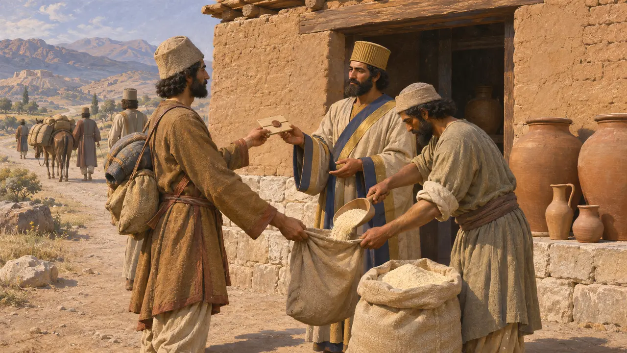
Rations for travellers on the road
In the recordThe Persepolis Fortification tablets, clay records from about 509 to 493, list rations of flour, beer and wine issued to travellers at stations along the roads. Many travellers carried a sealed authorisation from the King, a satrap or a senior official, which entitled them to draw supplies. The tablets name journeys between Persepolis and Susa and to places as far off as Sardis, Egypt, Arachosia and India.
R. T. Hallock, Persepolis Fortification Tablets, 1969
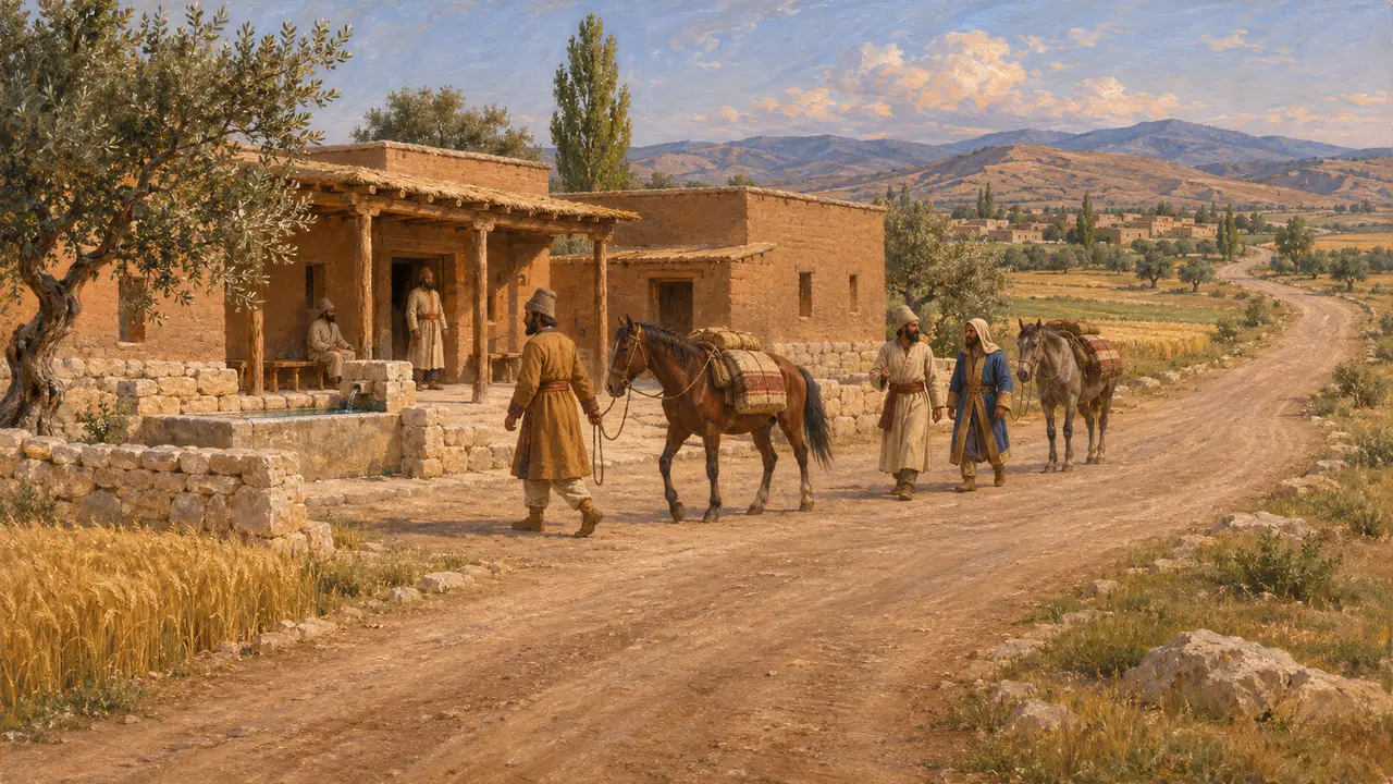
The road from Sardis to Susa
Ancient accountHerodotus describes a road from Sardis to Susa with royal stations and good lodgings all along it, passing through settled and safe country. He counts 111 stations over about 450 parasangs and reckons the journey at some ninety days at a steady pace. His figures are rounded and schematic, and their source is unknown, but they show how the road looked to a Greek writer in the 5th century.
Herodotus 5.52-54
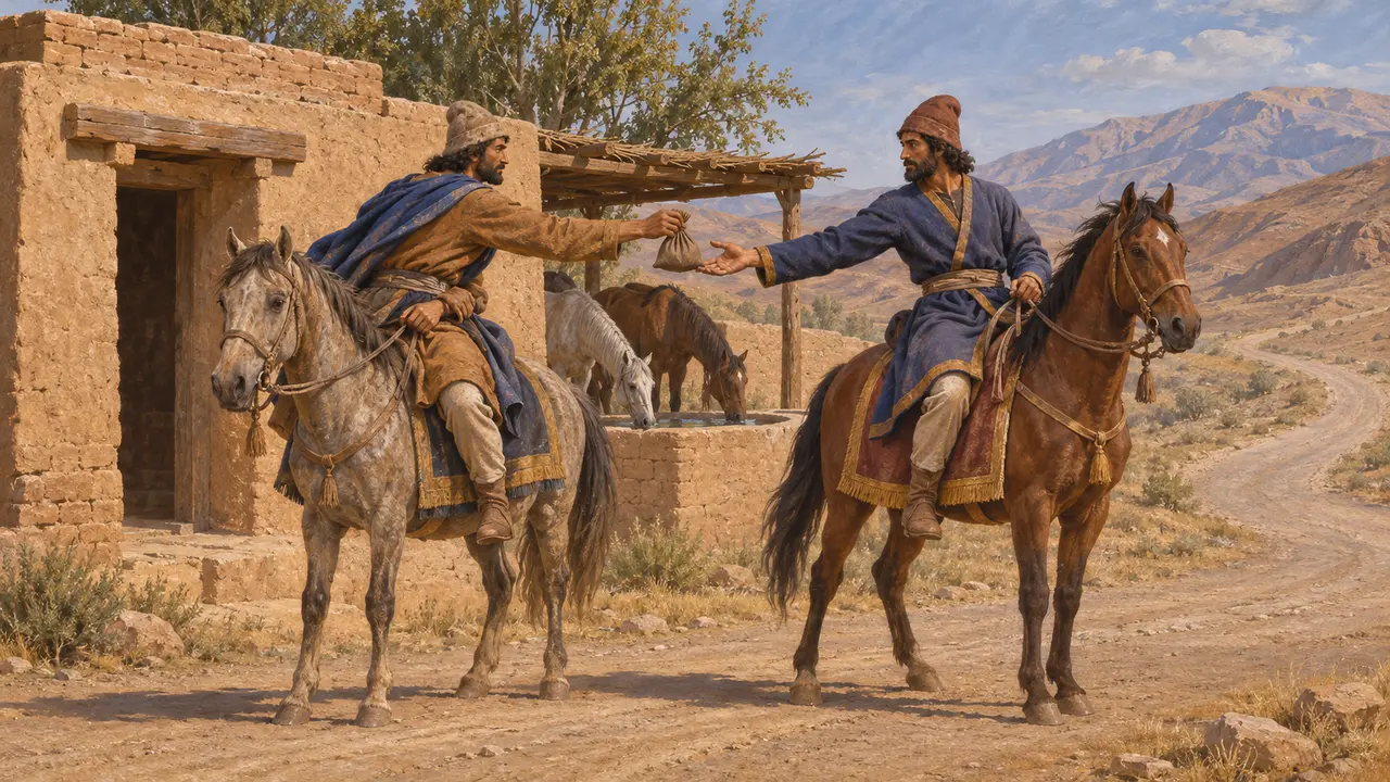
Couriers and relays
Ancient accountHerodotus says the Persians sent royal messages by relays of mounted riders, one man and horse posted for each day's stage, so that nothing stopped them. Xenophon later credits Cyrus with founding this system, but his Cyropaedia is an idealised portrait and cannot be taken as a firm record of who began it.
Herodotus 8.98; Xenophon, Cyropaedia 8.6
How the roads were built
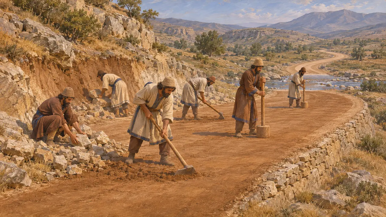
DisputedPersian roads were mostly beaten earth, cleared and levelled, with fords, ferries and some rock-cut or embanked stretches where the ground required. Surveys in Fars and elsewhere have traced possible stretches of ancient road, but dating a track or causeway to the Achaemenid period is difficult. Historians also still argue over the exact line of Herodotus's Royal Road through Anatolia, whether it ran by a northern route or further south.
D. F. Graf, The Persian Royal Road System, 1994
One network, not one road
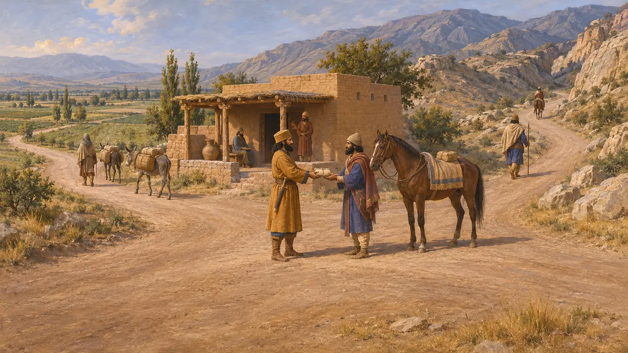
DisputedModern scholars stress that the Sardis road was only one branch of a wider network linking Persis, Susa, Babylon, Ecbatana, Egypt and the eastern satrapies. The Fortification tablets show travel documents issued far from Persepolis, but how far the network was run from the centre and how much was left to satraps and local officials is still debated.
P. Briant, From Cyrus to Alexander, 2002
Sources
- R. T. Hallock, Persepolis Fortification Tablets, 1969
- Herodotus 5.52-54
- Herodotus 8.98
- P. Briant, From Cyrus to Alexander, 2002
- D. F. Graf, The Persian Royal Road System, 1994
- Xenophon, Cyropaedia 8.6